Avaluator Trip Planner Exercises
These questions test your ability to use the Avaluator Trip Planner. Each image shows a route going from point A to point B. We'll let you know if the route is using simple, challenging, or complex terrain. You'll also be given the current avalanche danger rating.
Hover over or tap on the icons to refresh yourself on each band of the Trip Planner.
 Trips that fall in the green mean you should exercise NORMAL CAUTION. You can generally travel with confidence, but you should still be on the lookout for hazards and use safe travel skills. Be wary of individual slopes and keep an eye out for conditions that differ from expectations. Accidents in this risk band are infrequent.
 Question 1
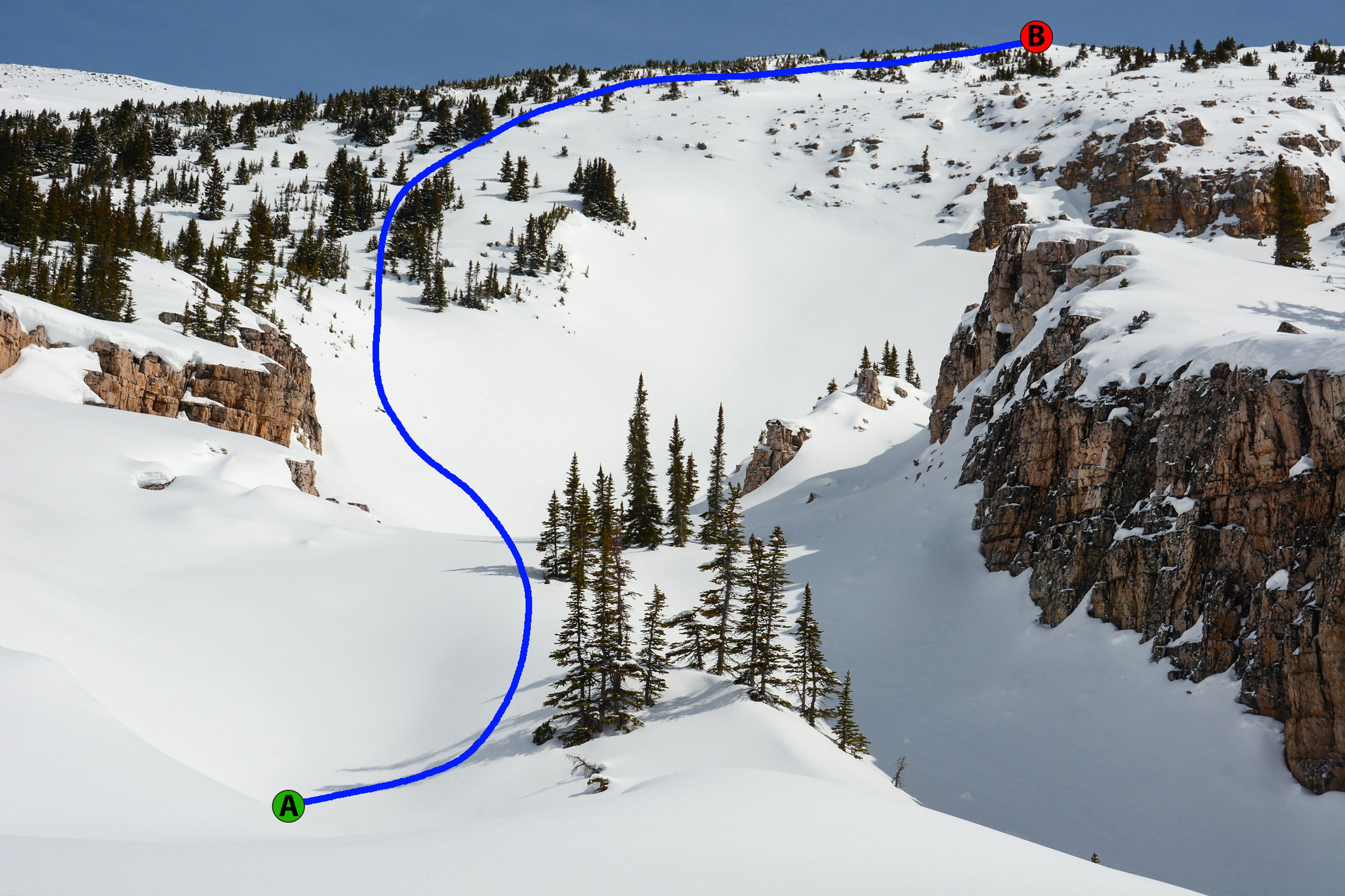
Questionnaire
Question 2
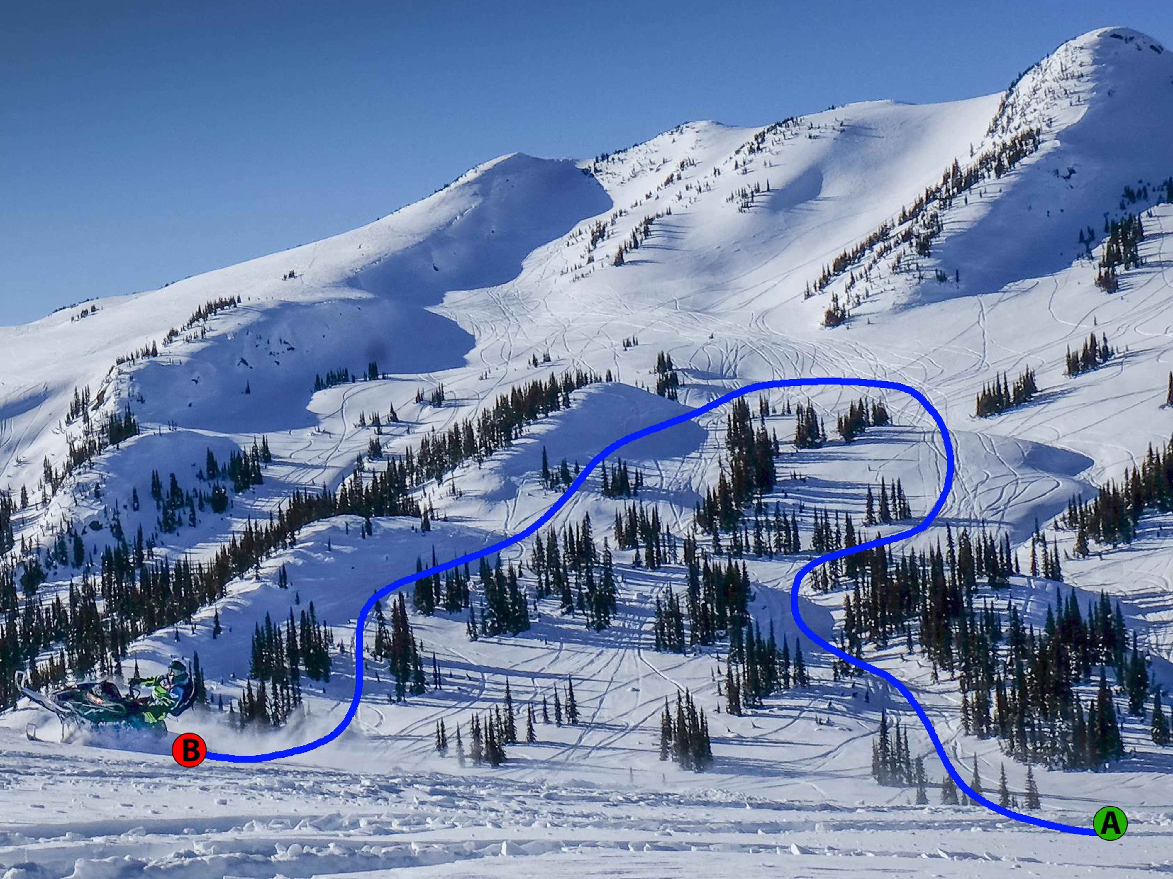
Questionnaire
These next two questions require you to understand the definition of each risk band on the Trip Planner.
Question 3
Questionnaire
Question 4
